Kentyou is a company specialising in smart city technologies and digital solutions for territories. It develops solutions that enable cities and organisations to collect, analyse and make better use of urban data. Kentyou helps stakeholders better understand how cities are used, monitor urban activity and make more informed decisions to support the sustainable transformation of territories.
Summary
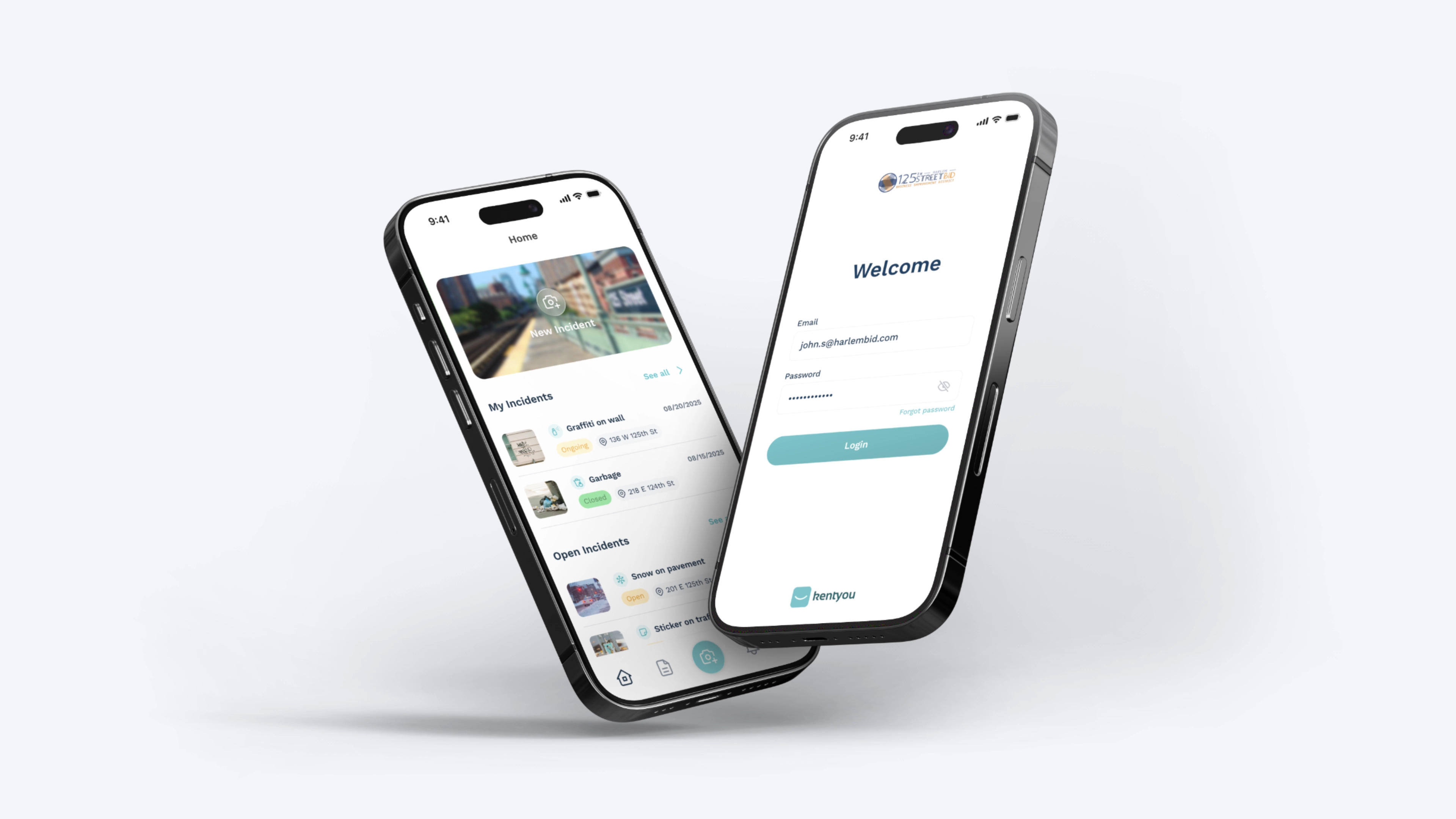
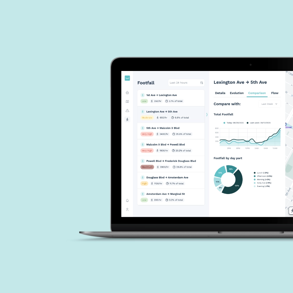
A mobile application designed for Kentyou and the 125th Street Business Improvement District (BID) in New York. It complements the desktop platform by allowing field teams and external contractors to report incidents, manage their interventions and confirm their resolution directly from the field.
Goals
My goal was to design a mobile-first experience adapted to field operations, making incident reporting as quick and intuitive as possible while providing users with all the information they need to intervene and resolve incidents on site.
Achievements
User Flows & User Journeys.
Interactive Figma prototypes.
Adaptation of the Kentyou Design System.
Incident reporting interface.
Incident resolution interface.
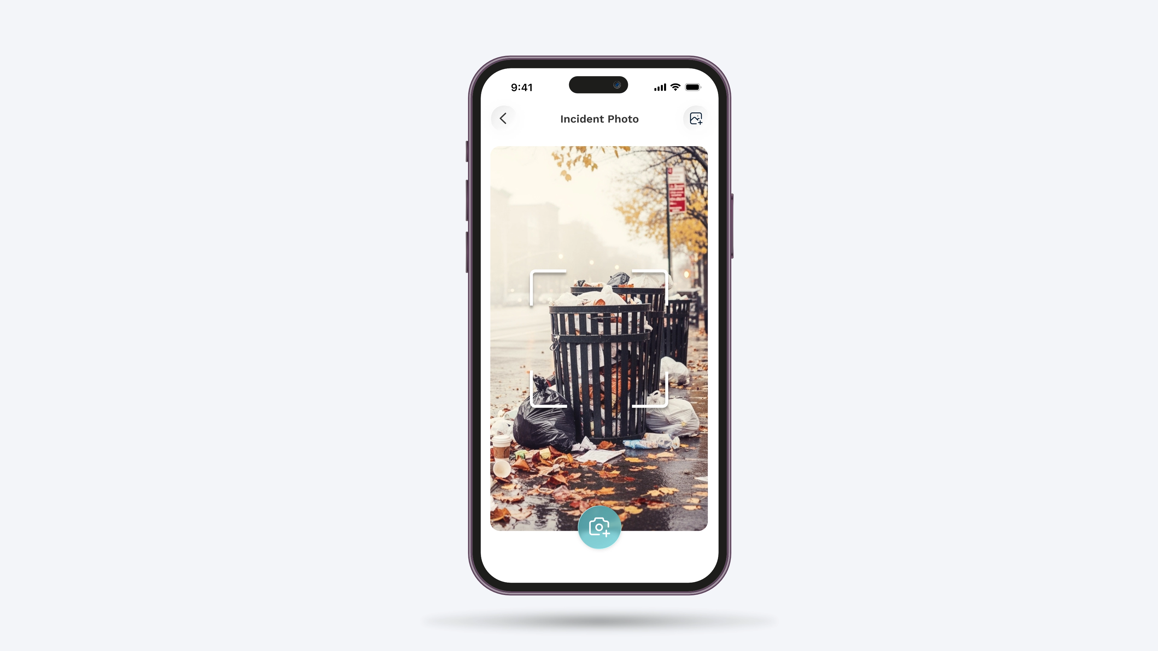
Photo capture and upload.
Location and navigation features.
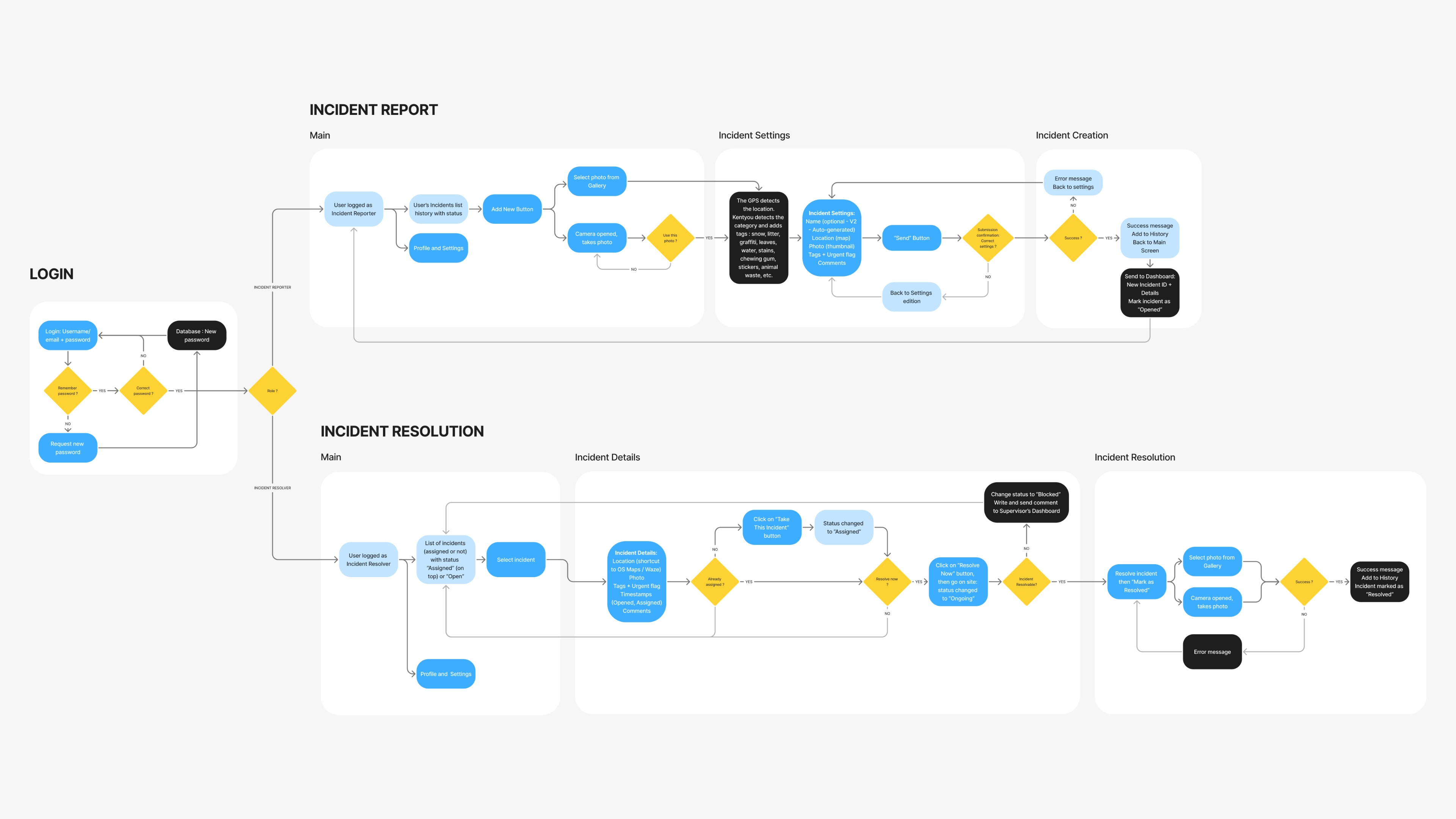
User Flow
Design of the main mobile user flows around two key actions: incident reporting and resolution. The reporting flow allows users to capture a photo, enter essential information, locate the incident and submit it to the supervisor.
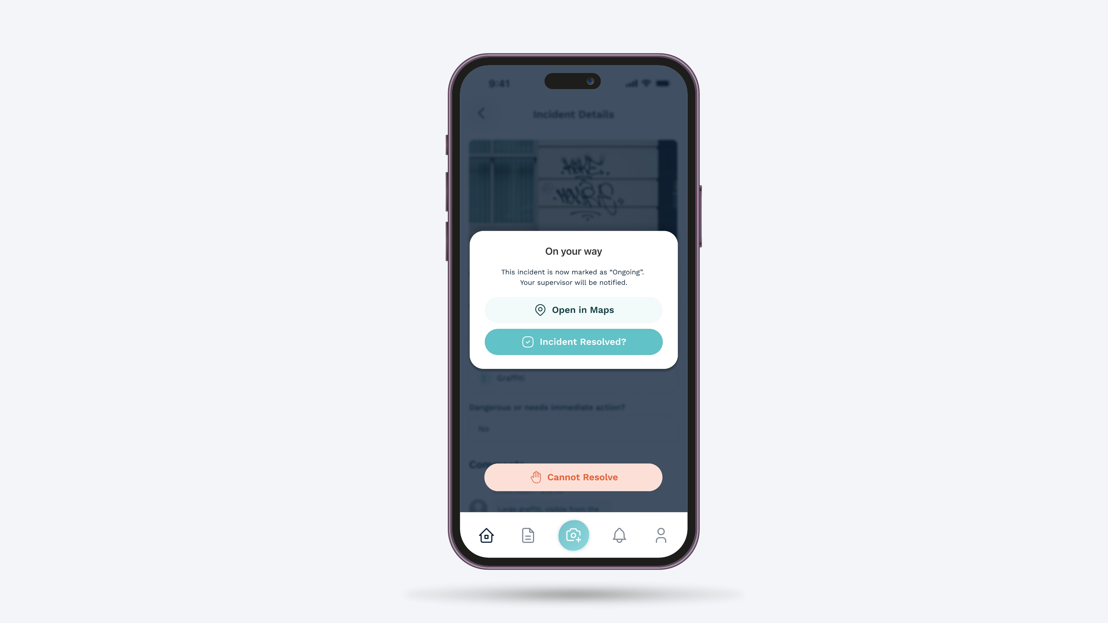
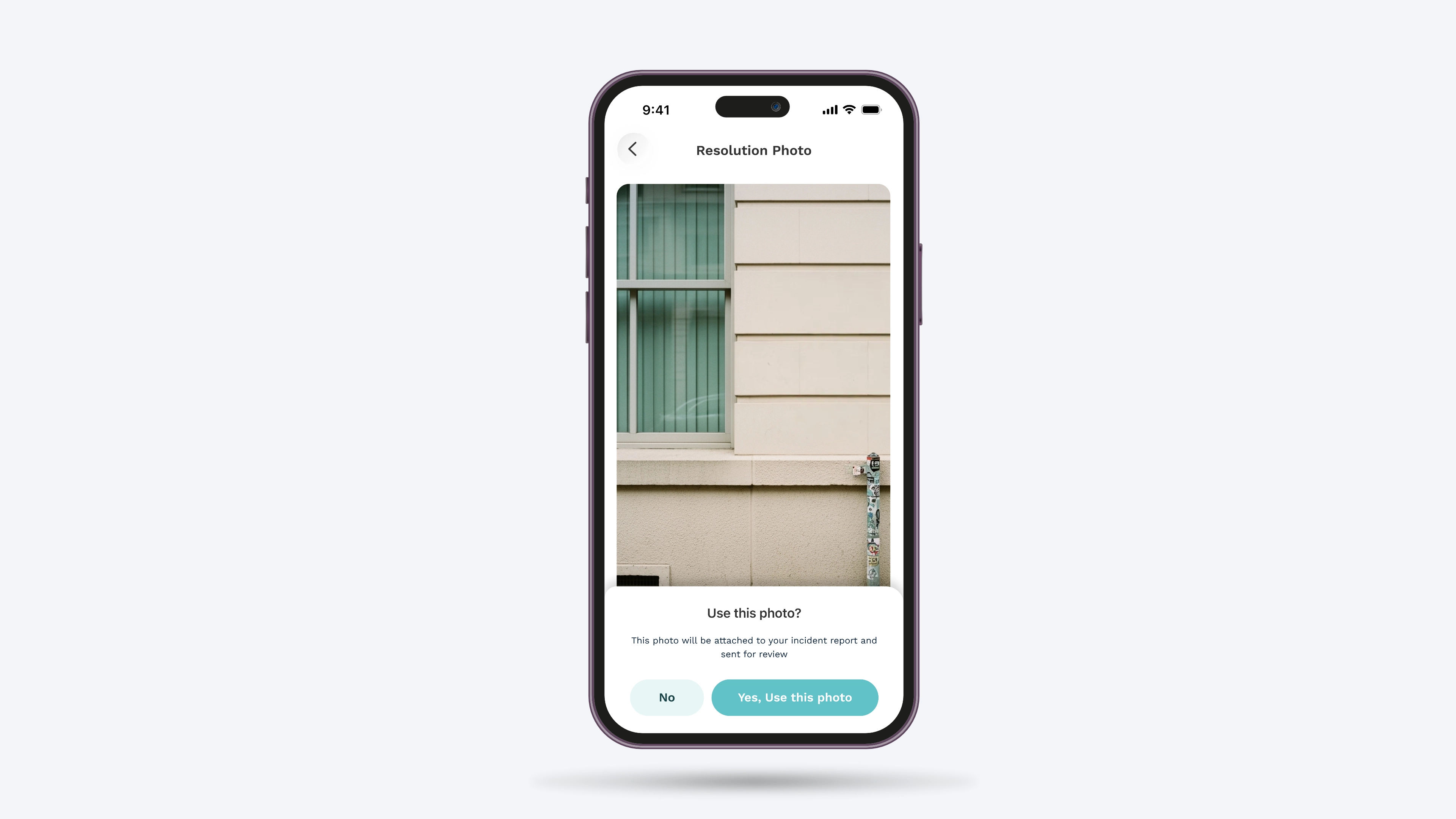
The resolution flow allows users to view assigned interventions, access incident details, navigate to the incident location and update its status after the intervention, with the option to add a photo for validation.
Incident Reporting
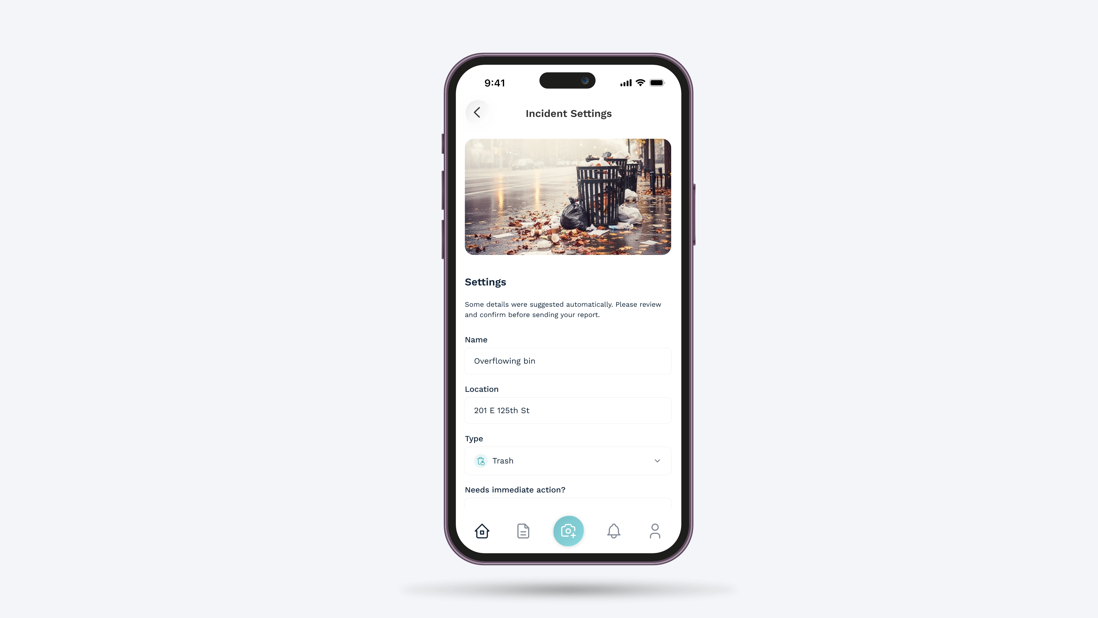
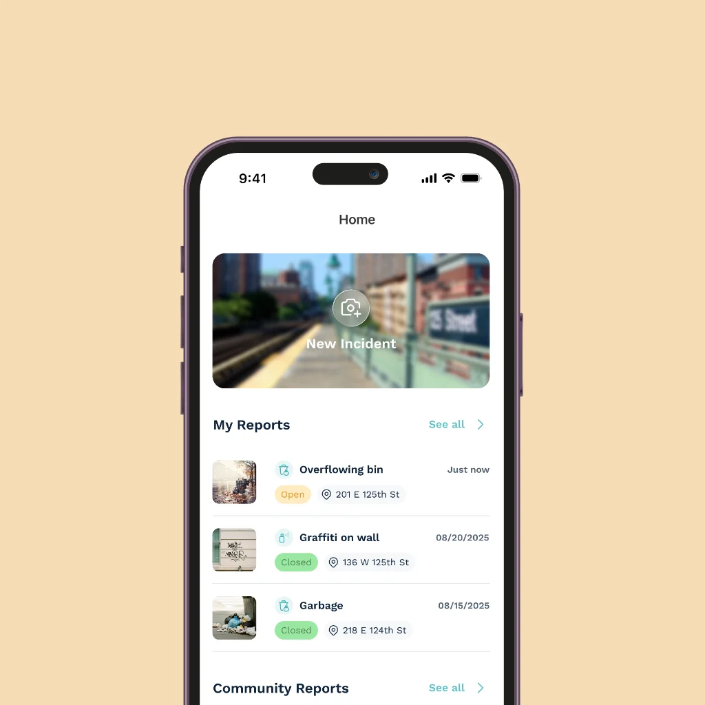
The mobile application allows users to quickly report an incident directly from the field. After taking a photo, they enter the essential information: name, location, type and whether immediate action is required. Additional comments can also be added before submitting the report. The incident then appears on the dashboard and the supervisor is notified.
Incident Resolution
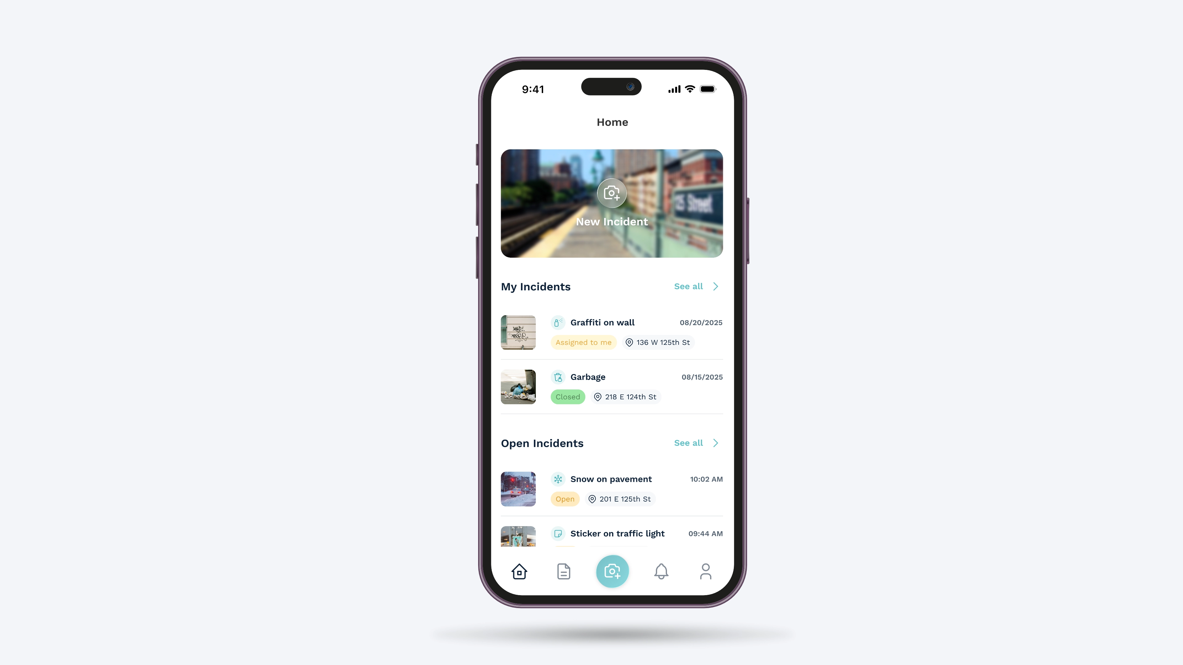
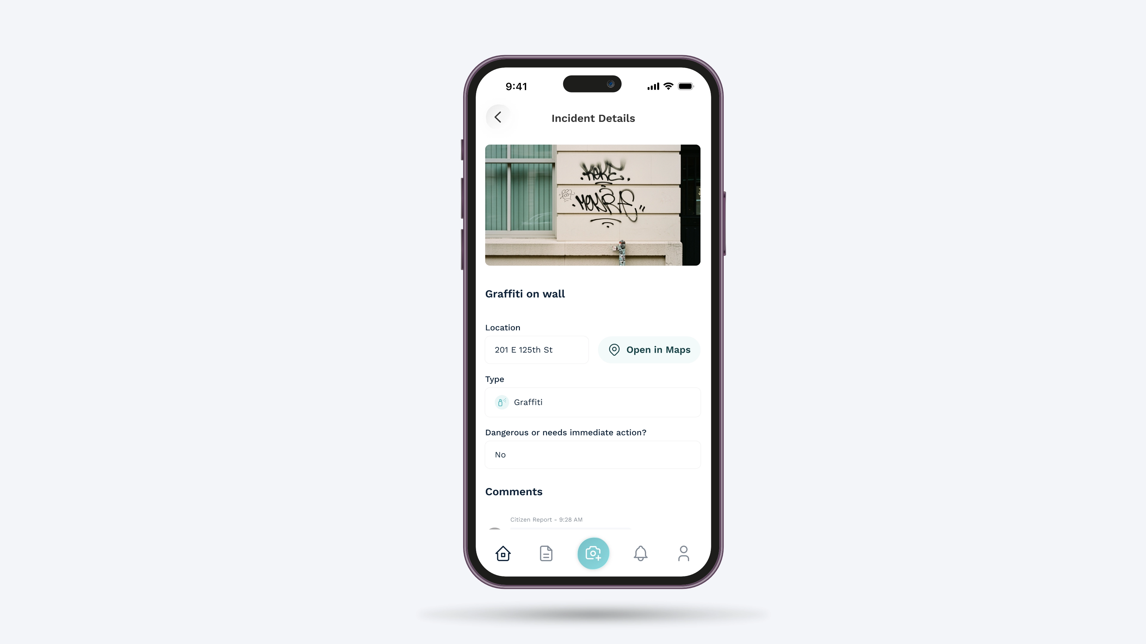
Users can view the incidents assigned to them and access their details, including the photo, location, type, priority and comments. Links to Google Maps or Apple Maps make it easier to navigate to the intervention site. Once on site, the user can mark the incident as resolved or unresolved and add a photo after the intervention for validation.
Conclusion
I designed a mobile experience that complements the desktop platform, enabling incidents to be managed directly from the field. The application simplifies reporting, guides users through the resolution process and gives supervisors real-time visibility into the status of incidents.